File:PortAuMap.png
No higher resolution available.
PortAuMap.png (480 × 360 pixels, file size: 185 KB, MIME type: image/png)
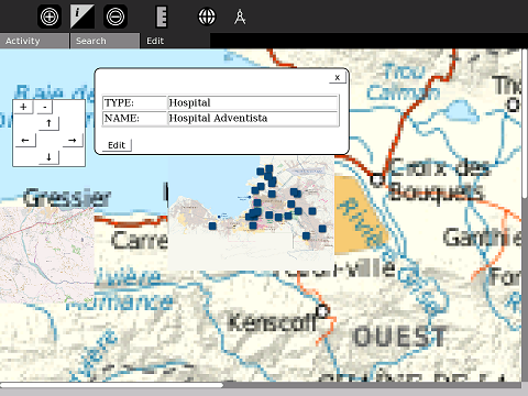
Port Au Prince USAID Relief Map overlayed
File history
Click on a date/time to view the file as it appeared at that time.
| Date/Time | Thumbnail | Dimensions | User | Comment | |
|---|---|---|---|---|---|
| current | 20:19, 28 January 2010 | | 480 × 360 (185 KB) | Ndoiron (talk | contribs) | |
| 23:15, 24 January 2010 |  | 480 × 360 (165 KB) | Ndoiron (talk | contribs) | ||
| 15:57, 24 January 2010 |  | 480 × 360 (159 KB) | Ndoiron (talk | contribs) | {{CC-BY-SA}} | |
| 15:52, 24 January 2010 |  | 1,200 × 900 (174 KB) | Ndoiron (talk | contribs) | Port Au Prince USAID Relief Map overlayed |
File usage
The following page links to this file: