Map (activity)
|
Map
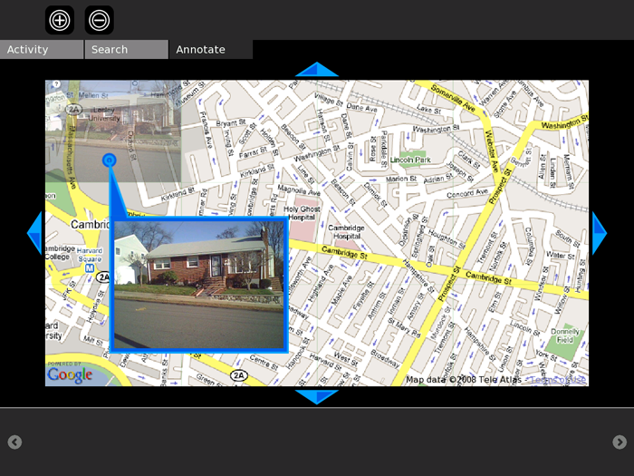
The Map activity allows children to create geo-tagged media mashups. Children can place images, videos, and audio recordings onto maps of their communities.
Tutorial
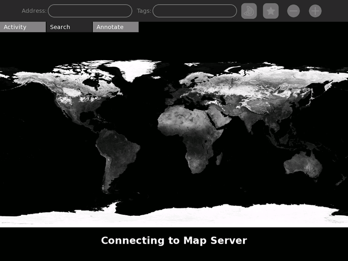
When you launch the Map activity, sugar will attempt to reach a remote map server.
If you don't have a good internet connection, you might not be able to get past this screen.

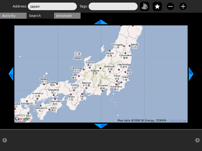
When you've connected to the map server, you will be able to browse maps of the world. The current implementation uses Google Maps. Other map servers could also be implemented.
You can navigate the map using the compass arrows on the sides of the map. You can zoom in and out using the + and - buttons. Enter a location into the Address bar to jump to a new part of the world.

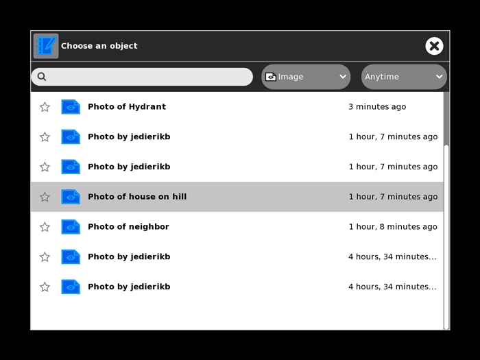
To add media from your journal onto the map, click on the Add Media button.

This will open a file chooser dialog. You can only select images and and video files to add to the map, so you might want to filter the list.

Your mouse will become a crosshair, and where you click next will be selected as the location of your photo or video.

How to Install
Download this .xo file using the Browse activity: Map-2.xo
Development
The Map activity was written in PyGTK. It relies on javascript files (including prototype.js) to interface with Google maps, although any map rendering engine could be substituted.
All of the Map activity's code is under an MIT License.
Feature requests
Add your feature requests here!
- Satellite & Terrain views from Google Maps would be a big addition! Google's street maps currently only cover a small fraction of the world. wade 19:46, 15 May 2008 (EDT)
- The ability to read layers (like photos and wikipedia articles) from Google Earth would be amazing! wade 19:46, 15 May 2008
Activity Summary
| Icon: | Sugar icon::Image:activity-map.svg |
| Genre: | Activity genre::General Search and Discovery |
| Activity group: | ,|x|Activity group::x}} |
| Short description: | Short description::The Map activity allows children to create geo-tagged media mashups. Children can place images, videos, and audio recordings onto maps of their communities. |
| Description: | |
| Maintainers: | ,|x|Contact person::x}} |
| Repository URL: | Source code::http://mediamods.com/sugar/Map-2.tar.bz2 |
| Available languages: | ,|x|Available languages::x}} |
| Available languages (codes): | ,|x|Language code::x}} |
| Pootle URL: | |
| Related projects: | Related projects,|x|Related projects::x}} |
| Contributors: | ,|x|Team member::x}} |
| URL from which to download the latest .xo bundle | Activity bundle::http://mediamods.com/sugar/Map-2.xo |
| Last tested version number: | Activity version::2 |
| The releases with which this version of the activity has been tested. | ,|x|Software release::x}} |
| Development status: | Devel status::4. Beta |
| Ready for testing (development has progressed to the point where testers should try it out): | ,|x|Ready for testing::x}} |
| smoke tested : | |
| test plan available : | |
| test plan executed : | |
| developer response to testing : |