File:JacmelMapped.png
Jump to navigation
Jump to search
No higher resolution available.
JacmelMapped.png (480 × 360 pixels, file size: 160 KB, MIME type: image/png)
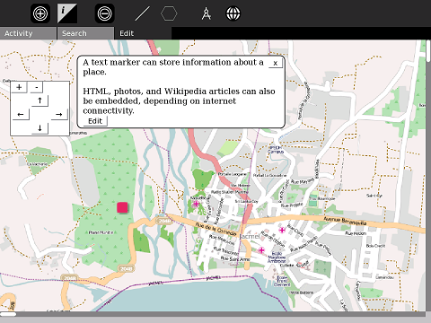
Jacmel is overlayed onto the map
File history
Click on a date/time to view the file as it appeared at that time.
| Date/Time | Thumbnail | Dimensions | User | Comment | |
|---|---|---|---|---|---|
| current | 04:54, 12 February 2010 | | 480 × 360 (160 KB) | Ndoiron (talk | contribs) | {{CC-BY-SA}} map of Jacmel by OpenStreetMap.org |
| 19:56, 24 January 2010 | 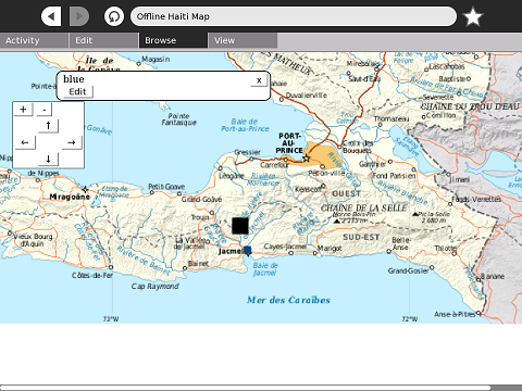 | 480 × 360 (194 KB) | Ndoiron (talk | contribs) | {{CC-BY-SA}} | |
| 19:52, 24 January 2010 | 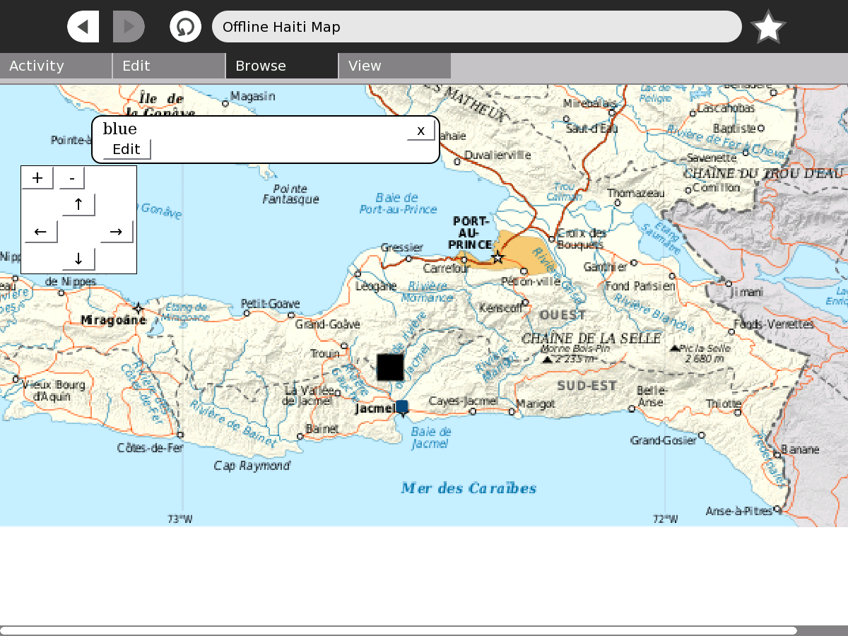 | 1,200 × 900 (225 KB) | Ndoiron (talk | contribs) | Jacmel is overlayed onto the map |
File usage
The following page uses this file: