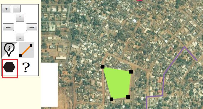
User:Ndoiron/OfflineMap/Ghana
< User:Ndoiron | OfflineMap
Jump to navigation
Jump to search
This activity is a test in developing a non-OLPC/Sugar complement to the Offline Map activity. The same code base and images can be used to add markers, lines, and shapes on another computer. Without the Sugar Activity, though, it is only HTML/JS and it is not currently possible to save maps or import KML / geodata.
Features
- Move and zoom/magnify the map
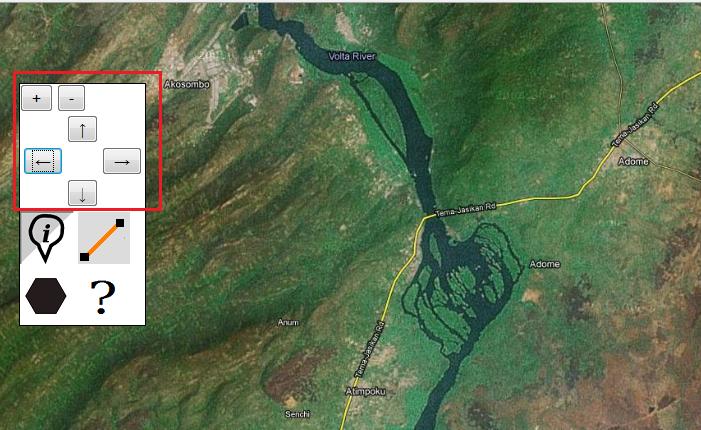
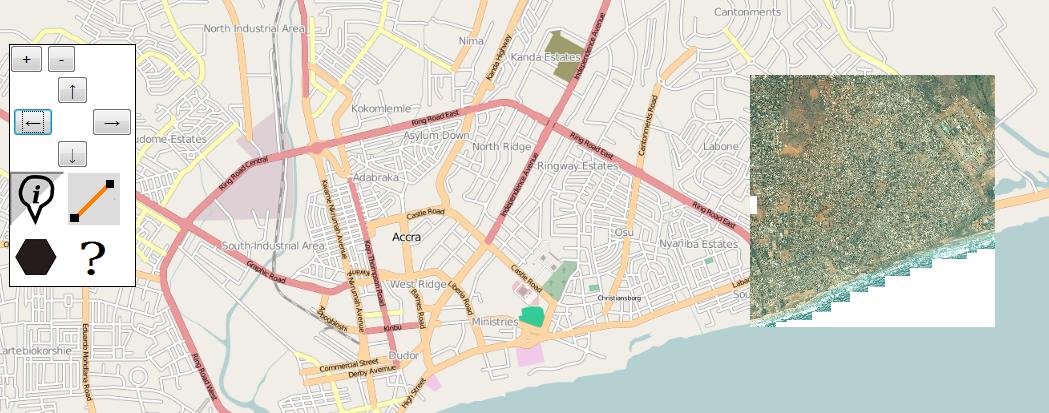
- Explore road and satellite maps of a few locations
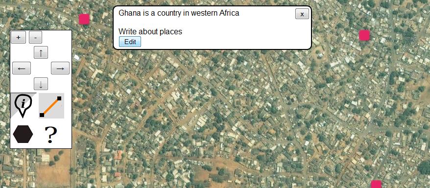
- Add markers to the map and describe places
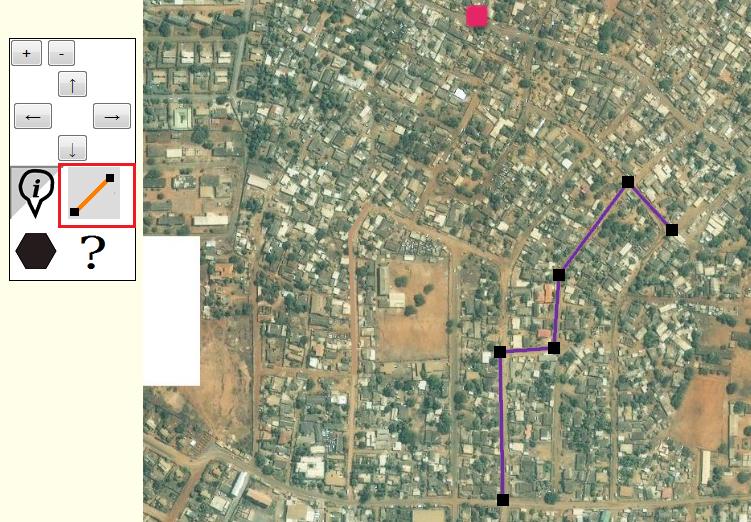
- Add lines to the map to draw roads and boundaries. Click the line button a second time to stop drawing.
- Add shapes using the same method as lines. Remember to click the button a second time to stop drawing.
- Use the codes pic::RightToDream.jpg or wiki::Wikipedia to embed a photo or Wikipedia article. Wikipedia articles require internet access. A RightToDream.jpg logo is included in the folder as an example.
Download Link
http://maptonomy.appspot.com/MapPack-Ghana.zip
Run the program by opening mapCenter.html
